
Walk a Passaic County Street
A street-by-street search works best when the number and municipality are recorded first. Begin with the municipal or county tax route to obtain the parcel identity, then use the county GIS layer to check the shape and location of that parcel. The recorded-instrument trail comes next through the County Clerk's PRESS system. Historical street pages can provide a dated address lead after the parcel trail is secure. This order matters because the tax record supplies the block and lot, while a deed is tied to grantor, grantee, and legal description rather than to a current street label.
- Enter the address in the tax or assessor route and record the municipality, block, lot, qualifier, property location, and assessment year.
- Use the county GIS, or geographic information system, parcel layer to compare the returned parcel with the street and surrounding geometry. A similar street name in another municipality is a different search.
- Open the recorded ownership trail in PRESS. Note the grantor, grantee, recording date, book and page, consideration, and legal description.
- For a lawful civic question, ask the appropriate elections office about an election-district registry-list request rather than trying to turn the individual registration checker into a street roster.
- Use Passaic County Historical Society (PCHS) street pages and address guides to place a historic household at the number in a particular year. Keep that dated listing separate from current parcel ownership.
That sequence is the practical core of a Passaic County street directory. It also creates a useful audit trail: source URL, search terms, date, returned parcel identifier, and the role each record actually supports.
Passaic County Parcel Street Fields
The inspected Passaic County ArcGIS parcel layer is the most detailed public street-search source in the research. It supports attribute and spatial queries and can return a whole street segment or parcels in a municipality, subject to a 2,000-record response limit. Its fields include PAMS_PIN, municipal code and name, block, lot, qualifier, property class, property location, owner name, street, ZIP, values, deed book/page/date, sale price, building details, dwelling count, and geometry. The layer is a planning representation, not a legal boundary or survey.
| Parcel field | How it helps a street search | Important limit |
|---|---|---|
| Municipality, block, lot, qualifier | Separates same-named streets and ties a street number to a tax identity. | Use all parts together when a lot has changed. |
| PAMS_PIN and GIS PIN | Provides stable parcel identifiers for a saved search trail. | They do not replace the recorded legal description. |
| Property location and mailing address | Distinguishes the physical site from tax correspondence. | A different mailing address does not identify an occupant. |
| Deed book, page, and date | Points from the parcel record into the Recorder's ownership trail. | Confirm the legal description before linking records. |
For statewide checking, the New Jersey parcel and Property Explorer guidance describes searches by county, municipality, block, lot, and address. State-hosted parcel products may redact protected owner names under Daniel's Law. A redaction or blank field should be left alone, not bypassed through guesswork.
Note: The January assessment list can lag later changes, so record the listed assessment year before treating an address result as current.
Passaic County Street Directory Records
Several address-keyed sources answer different parts of the same street question. The Board of Taxation route and municipal assessors establish parcel and assessment context. GIS supplies map geometry and parcel identifiers. PRESS documents recorded transfers. Municipal construction or code offices can retain permit, inspection, certificate, or notice records by address, though no countywide open permit database was found. PCHS and the Library of Congress add historic address evidence. A Passaic County street directory is strongest when it preserves those separate record roles.
| Address source | Street key | Record result | Access route |
|---|---|---|---|
| Tax card or assessment record | Address, municipality, block and lot | Owner, assessed value, class, tax context, and sometimes mailing fields | Board of Taxation link or municipal assessor request |
| County parcel GIS | Street, map geometry, parcel ID | Parcel shape, location, selected owner/value/deed fields, and neighbors | County layer or Planning/OPRA data request |
| PRESS deed and mortgage index | Owner names, address variants, legal description | Grantor, grantee, instrument date, consideration, book/page, and recorded image where available | Online portal; Record Room for older or title work |
| Election-district list | District and address context | Lawfully released registry-list fields | Formal county request with protected-address and signature limits |
| Municipal permit or code file | Address or parcel | Public project, inspection, occupancy, or correction context | Relevant municipal construction office, clerk, or OPRA route |
| PCHS street directory | Street and house number | Dated historical occupants, telephone, and directory context | Appointment or research request |
The Passaic County OPRA Center is a fallback for non-judicial county records when the holder and record category are clear. For a municipal permit or code file, ask that municipality's custodian for an address-indexed record and date range. Court files follow Judiciary procedures rather than OPRA.
PRESS Along Passaic County Streets
The County Clerk's Public Records Electronic Search System, known as PRESS, is the recorded-instrument layer of a street directory. The research reports an index from December 1, 2000 and electronic deed and mortgage images from January 1, 1989, with older conversion continuing. That boundary describes online access, not the beginning of county land records. When a needed image or earlier item is absent online, use the Registry Vault or Record Room and ask about the appropriate title-search route. The Clerk expressly states that its web system is not a title search.
The PRESS landing page shows the official property-record access point used for the recorded transfer stage of a Passaic County street directory.
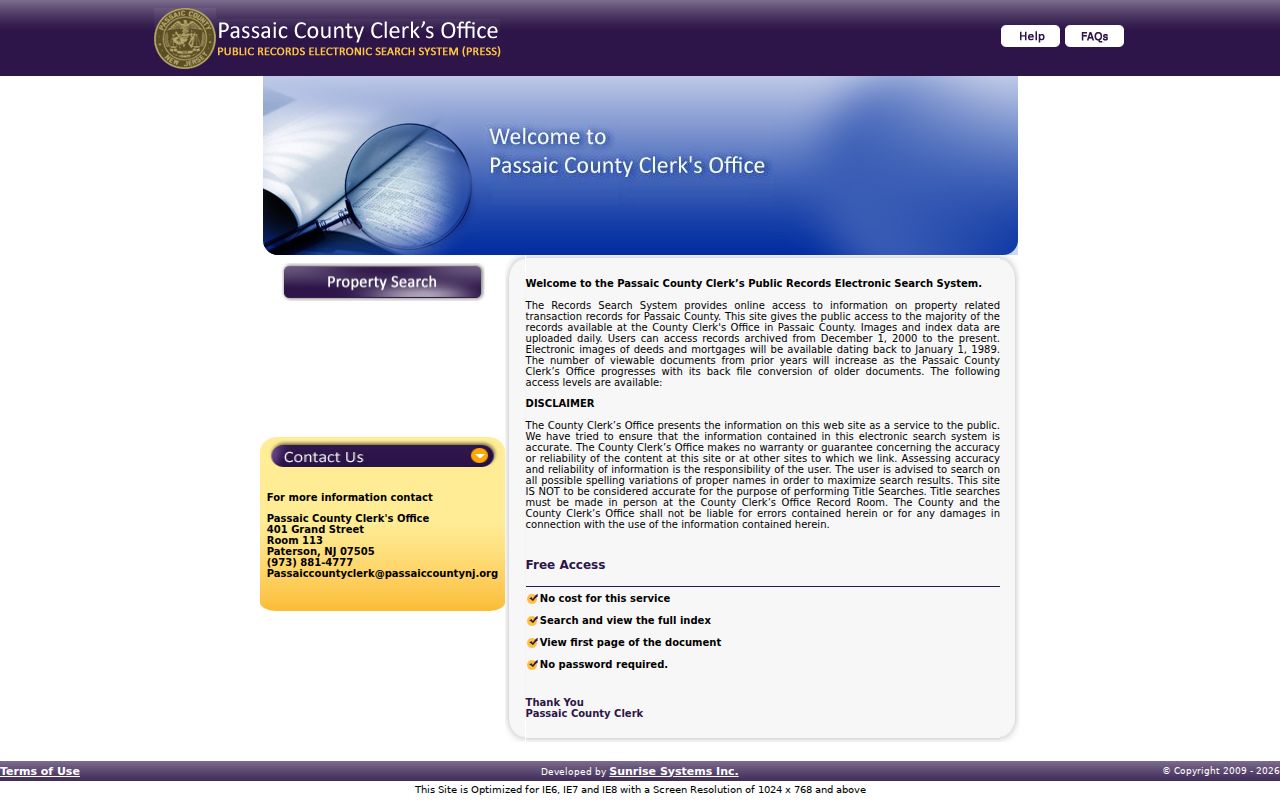
Use a record from that source to build an ownership chain, then verify that the legal description and parcel details match the street address under review.
Search the current owner as both grantee and grantor when tracing a recorded transfer. A grantee received an interest; a grantor conveyed one. The seller's later address, if any, is a separate question and should not be assumed from the sale record. Also avoid treating a deed, lien, or mortgage entry as proof that the named party occupied the property.
Passaic County Permit Street Records
Municipal construction and code records can date a structure or public event at an address even when they do not identify every person connected to it. The research specifically identifies construction, demolition, electrical, plumbing, mechanical, fire, pool, and related forms in Clifton. Paterson's municipal material also points to local clerk and court routes. Ask the relevant construction official whether retained permit cards, inspection reports, certificates of occupancy, or code files are indexed by address, and whether a public copy contains redactions.
A permit marks a project or inspection event. It is not an ownership chain, and it does not establish who occupied a property. Match the returned address to the municipality, block and lot before joining it to PRESS or GIS results.
Passaic County Voter Street Lists
New Jersey's online “Am I Registered?” route is for checking an individual's registration status and voting jurisdiction. It is not a street-search form. For an address-based civic research question, the documented route is a county election-district registry-list request. The request should identify the municipality, ward or district when known, preferred format, and version date. The County Clerk handles certain election materials, while the Superintendent of Elections maintains the registration database and voter history, so direct the request to the office holding the specific record.
New Jersey's voter-registration page links to the official checker and explains the state route. Under N.J.S.A. 19:31-18.1, registry-list access is regulated, voter signatures are excluded, and approved covered-person home addresses are protected. A $0.25 printed election-district list price and an electronic county-list cost cap are described in the research, but the appropriate office should confirm the current request details before payment.
A registry list is not a street census. A nonmatching name, an inactive status, a protected address, or an unregistered adult does not settle where a person lives. Ballot choices are not public street-directory information.
Passaic County Street Directory Pages
For an older street, the Passaic County Historical Society offers the local address-to-household layer. Its holdings include Paterson volumes from 1915 through 1920 whose pink pages identify streets, house numbers, and occupants. The 1956 through 1961 Paterson Suburban volumes use pink street pages and green telephone pages for suburban municipalities. Those pages are not a modern record of a household. They are valuable because each listing can be pinned to a particular volume and year.
The PCHS directory runs also contain real gaps. There is no 1908 item in the documented 1901 through 1909 sequence, and later Paterson runs omit several years. Do not fill a gap by copying the adjacent directory year. The historical volumes are described in more depth in the Passaic County Directory Book, while the street directory use here stays focused on the address section.
When a surname search stalls, read the relevant pink street page, transcribe the street name and house number exactly, then note the page, volume, municipality label, and date. The local library's appointment and research-request routes are the fallback when an in-person visit is not possible.
Passaic County Street Geography
Street labels need a municipality before they become a reliable record key. Passaic County includes dense Paterson and Passaic streets, suburban streets in Clifton, Wayne, and Totowa, plus widely spaced addresses in Ringwood, Wanaque, and West Milford. The county GIS material includes roads, address points, blocks, parcels, municipal boundaries, and other planning layers. Use the geometry and parcel identifiers to distinguish one street from another, especially where a name or number repeats.
New Jersey's parcel-data guidance is the source shown here for the statewide parcel and Property Explorer route.
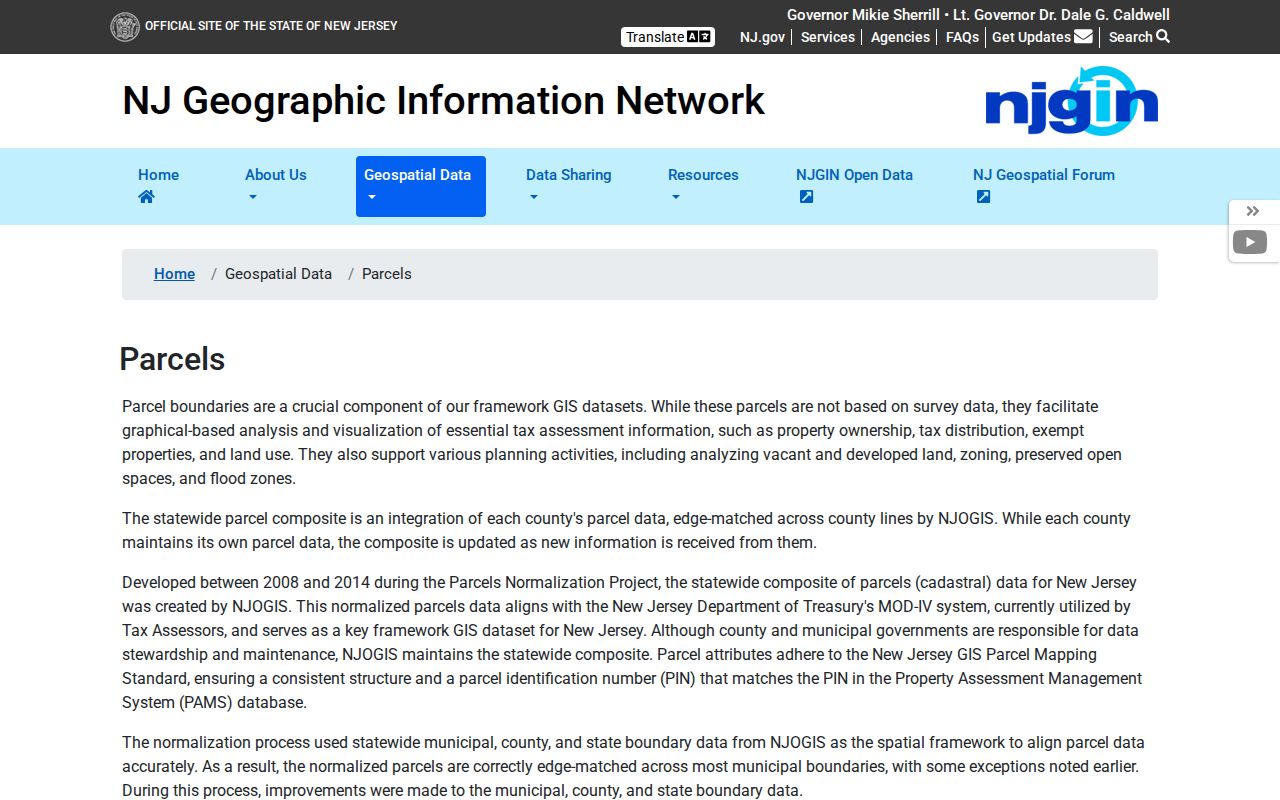
The statewide source supports county, municipality, block, lot, and address checking, which helps verify a parcel before using a street label in a deed or directory search.
ZIP codes are delivery geography, not municipal boundaries. A street query should not rely on a ZIP alone, particularly with shared 07508 and other 074xx or 075xx delivery patterns. Check the full address through USPS, then use the assessor or GIS record for the legal municipality. The county research did not locate a definitive single countywide authority for address assignment or renumbering, so a claimed address change needs parcel, map, or municipal support.
Passaic County Street Directory Terms
Street records use several terms that look alike but answer different questions. Keeping the terms distinct reduces false matches when a parcel was divided, a mailing contact changed, or a historical directory used an older municipality name.
- Parcel
- A mapped piece of land identified by municipality, block, lot, qualifier, and often a PAMS_PIN or GIS PIN.
- Situs address
- The physical property location. It can differ from the mailing address used for tax correspondence.
- Legal description
- The land identity used in a recorded instrument, often more stable than a street number after a subdivision, merger, or address change.
- Plat or tax map
- A map record that helps connect a lot, block, subdivision, and the location of a parcel.
- Criss-cross directory
- An address-oriented directory section used to move from a street and house number to a dated listing.
Passaic County was created from parts of Bergen and Essex in 1837, and municipal names changed later. An old record may therefore use a parent-county or earlier township label. Preserve the printed label first, then translate it through boundary history before trying a modern street search.
Passaic County Street Directory Limits
An address record can show a parcel owner, mailing contact, recorded party, public permit applicant, registered voter on a lawfully released list, or historical directory listing. It cannot combine those roles into a complete household claim. A map can include a road, common area, utility parcel, public property, or a parcel in another municipality. A condominium tax record can also describe an association or tax structure rather than a person at the address.
Driver-license addresses and utility-customer records are not public street-directory sources. Daniel's Law, the Address Confidentiality Program, voter-list protections, and other redactions must be honored. Retain only the fields needed for a personal, genealogical, civic, estate, property, or safety question, and keep the source date with the result.
Lawful use. Use Passaic County address records for lawful personal research and public-record questions. Do not use them to stalk, harass, intimidate, or harm anyone.
Note: A result that cannot be confirmed by its proper custodian should remain an unverified lead, not a statement about a current resident.