
Passaic County ZIP Code Coverage
Postal ZIPs tell a carrier where mail should go. They do not define the municipal line that controls a tax card, permit file, or parcel map. The associated delivery areas below come from the county research and USPS or official municipal references. They are a practical first sort for Passaic County records, not a boundary map or a list of people. Enter a complete address before treating any one of these labels as final.
| Delivery ZIP | Associated area | Postal reference | Record-search caution |
|---|---|---|---|
| 07403 | Bloomingdale | Bloomingdale post office | Nearby routing families may cross town lines. |
| 07420, 07421, 07422 | Haskell, Hewitt, Highland Lakes | USPS routing families | Confirm the exact West Milford or Wanaque delivery address. |
| 07424 | Little Falls and Woodland Park references | Little Falls post office | Postal city and municipal line can differ. |
| 07442, 07444, 07457 | Pompton Lakes, Pompton Plains, Riverdale/Pompton area | USPS routing families | Not every 07457 address is in a Passaic municipality. |
| 07456, 07465, 07470, 07474, 07480 | Ringwood, Wanaque, Wayne, West Milford areas | USPS locations and routing | Use a full address, not the ZIP alone. |
| 07011, 07012, 07013, 07014, 07015, 07043 | Clifton | Official Clifton assessments | USPS controls delivery details. |
| 07055 | Passaic | USPS and municipal use | The ZIP boundary can differ from the city line. |
| 07501, 07502, 07503, 07504, 07505, 07506, 07507, 07508, 07509, 07510, 07511, 07512, 07513, 07514, 07522, 07524, 07533, 07538, 07543, 07544 | Paterson postal family | Postal Bulletin | Includes stations, boxes, and special routing patterns. |
| 07508 | Haledon, North Haledon, Prospect Park references | Haledon post office | A major shared-ZIP trap. |
| 07506, 07512 | Hawthorne/Paterson and Totowa/Paterson references | Postal Bulletin | Check the municipal assessor or GIS before relying on it. |
The table is deliberately labeled as delivery geography. A tax mailing address may belong to an owner, fiduciary, bank, or entity outside the parcel municipality. The parcel situs is the physical location, while the legal description, block, lot, and qualifier hold the land identity. Those distinctions keep a ZIP code directory from turning a mailing label into a false address claim.
The USPS Paterson location record is one official reference for checking the local postal system.
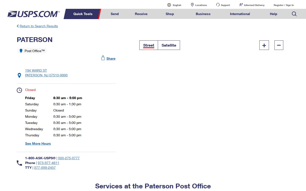
Use the postal source to verify delivery, then use the relevant municipal and parcel records to verify the government jurisdiction.
Passaic County 075xx Routing
Paterson has many more 075xx labels than a simple city outline suggests. The Postal Bulletin identifies 07501, 07502, 07503, 07504, 07505, 07506, 07507, 07508, 07509, 07510, 07511, 07512, 07513, 07514, 07522, 07524, 07533, 07538, 07543, and 07544. Some are station, PO box, or special-routing patterns. The 2025 Postal Service notice also identifies the Paterson SDC at 194 Ward Street, ZIP 07510, as a processing clue. It is not a map of every residential boundary.
Two details deserve extra care. The former River Street station for 07544 was discontinued in 2011, but the ZIP remained. Shared 07508 has Haledon, North Haledon, and Prospect Park references. A 075xx label can therefore narrow a delivery question while still leaving the correct municipality unresolved. For legal or assessment work, go from the complete address to the parcel rather than grouping every 075xx result together.
Find Passaic County Residents by ZIP
The inspected county GIS service is parcel and geometry oriented, and the research did not capture a live Passaic assessor ZIP filter or a ZIP-wide return set. That gap matters. A ZIP search can help organize addresses, but it should not be presented as a documented countywide resident search. The dependable route is to verify the address with USPS, identify the municipality, and then use the parcel fields or a formal election-record request for the precise question.
| Official route | Documented search key | Useful result | Boundary to keep in mind |
|---|---|---|---|
| USPS address verification | Complete street address | Returned ZIP and preferred city line | Delivery geography is not a municipal boundary. |
| New Jersey Property Explorer | County, municipality, block, lot, or address | State parcel context | No Passaic ZIP-search behavior was captured. |
| County ArcGIS parcel layer | Attribute or spatial query | Parcel location, PAMS_PIN, block/lot, and related fields | Planning representation, not a survey or legal ownership decision. |
| Election district list request | Municipality, ward, district, date, format, and fee question | Lawful public voter-list fields | Protected addresses and signatures are excluded. |
Turn a broad ZIP question into a record-ready address in this order:
- Submit the complete street address to USPS and retain the returned ZIP and preferred city line.
- Check the municipality through the tax route, state Property Explorer, or county GIS service.
- Record the block, lot, qualifier, or PAMS_PIN before comparing tax, deed, or planning material.
- For a voter question, ask the County Elections Division which election-district list version, format, and fee apply rather than guessing through a public form.
- Once the address is secure, use the Passaic County street directory for the fuller address-based record trail.
The New Jersey voter-list statute page documents the rules that govern the public registry list.
Election records can supply civic information at the proper district level, but they are not an unrestricted household roster.
Passaic County ZIP Code Boundaries
A Census ZIP Code Tabulation Area is a statistical approximation, not a USPS route. In Passaic County, that difference becomes visible around shared 07508 and the 074xx routing families. A postal city is an instruction for delivery; a municipality is the government jurisdiction that holds assessment, permit, and local-record material. Confirm both before requesting a record or comparing an old directory label.
- ZIP and ZIP+4
- The five-digit ZIP identifies a broad delivery area. ZIP+4 adds a smaller delivery segment and does not identify a person or parcel owner.
- PO box ZIP
- A ZIP may be tied to a postal box or station pattern. It should be checked against the complete physical address before it is used in municipal research.
- Unique ZIP
- A unique ZIP is assigned to one organization or destination. The inspected Passaic County material does not identify one to treat as a local boundary.
- Carrier route
- A carrier route is a delivery sequence. It can help postal operations, but it does not replace a tax-map or municipal boundary.
Verify Passaic County ZIP Records
USPS verifies delivery. The county GIS and the municipal assessor verify the municipality and parcel. The ArcGIS layer can return property location, municipality, block, lot, owner and value fields, but its metadata says the geometry is a planning representation, not a legal boundary or survey. Treat an owner field as current parcel data that may need a custodian check, particularly where Daniel’s Law redactions apply.
A municipal clerk is often the next stop after the legal municipality is known. The Clifton City Clerk municipal-records page is an example of the separate municipal layer within the county.
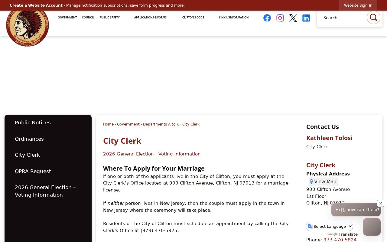
Municipal offices hold local record categories that a postal label cannot settle, so keep the verified city or borough name with every request.
When an agency-held record is needed and no online result exists, an OPRA request should identify the precise record category, date range, municipality, or parcel. OPRA presumes access to government records but permits exemptions and does not compel a court or private repository to disclose confidential material.
The New Jersey Government Records Council OPRA guidance describes the state public-records framework.
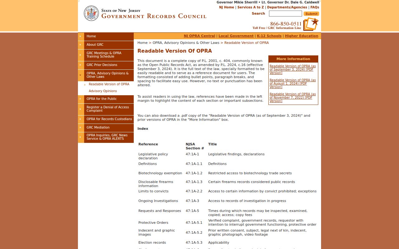
A focused request is more useful than a broad request for information about everyone associated with one ZIP.
Passaic County Place Names and ZIPs
Clifton’s official 2025 open-space and recreation draft names Botany, East Clifton, Lakeview, Hazel, Middle Village, Clifton Center, Dutch Hill, Albion, Maple Valley, Greglawn, Richfield, Athenia, Montclair Heights, Rosemawr, Allwood, and Delawanna. Those are useful terms for locating a newspaper item, planning agenda, or historical directory entry. They are not separate municipalities or separate ZIPs. Use the neighborhood term as a search aid only after the postal and parcel facts are in hand.
Older records add another layer. Passaic County began in 1837 from Bergen and Essex, and later municipal changes mean a historic directory can use a place label that does not match a modern postal city. Preserve the wording found in the record, then search the historic label alongside the modern municipality, street, and parcel identifiers. That prevents a current ZIP from erasing an important older jurisdiction clue.
Passaic County ZIP Access Routes
Some record types will not be searchable by ZIP at all. A tax or GIS result may lead to the municipal assessor, the County Clerk Registry, or the Record Room. Historical address work may need the Passaic County Historical Society’s directories and microfilmed newspapers. Local vital records are handled through municipal registrars and the state system, with certified and genealogical access rules that differ by record era. Follow the custodian that matches the record, not the broadest postal label.
For an old address, preserve the ZIP and city wording exactly as printed, then add the modern municipality and parcel information in separate notes. Passaic County was formed from Bergen and Essex in 1837, and later municipal changes can make an older place label more useful than a modern mailing line. PCHS directories and newspapers can bridge those eras, while the County Clerk’s deed trail and municipal assessor keep the present parcel anchored. A missing online result can mean a catalog, backfile, or custodian request is still needed.
The New Jersey list of Passaic County local registrars identifies the local vital-record access route.
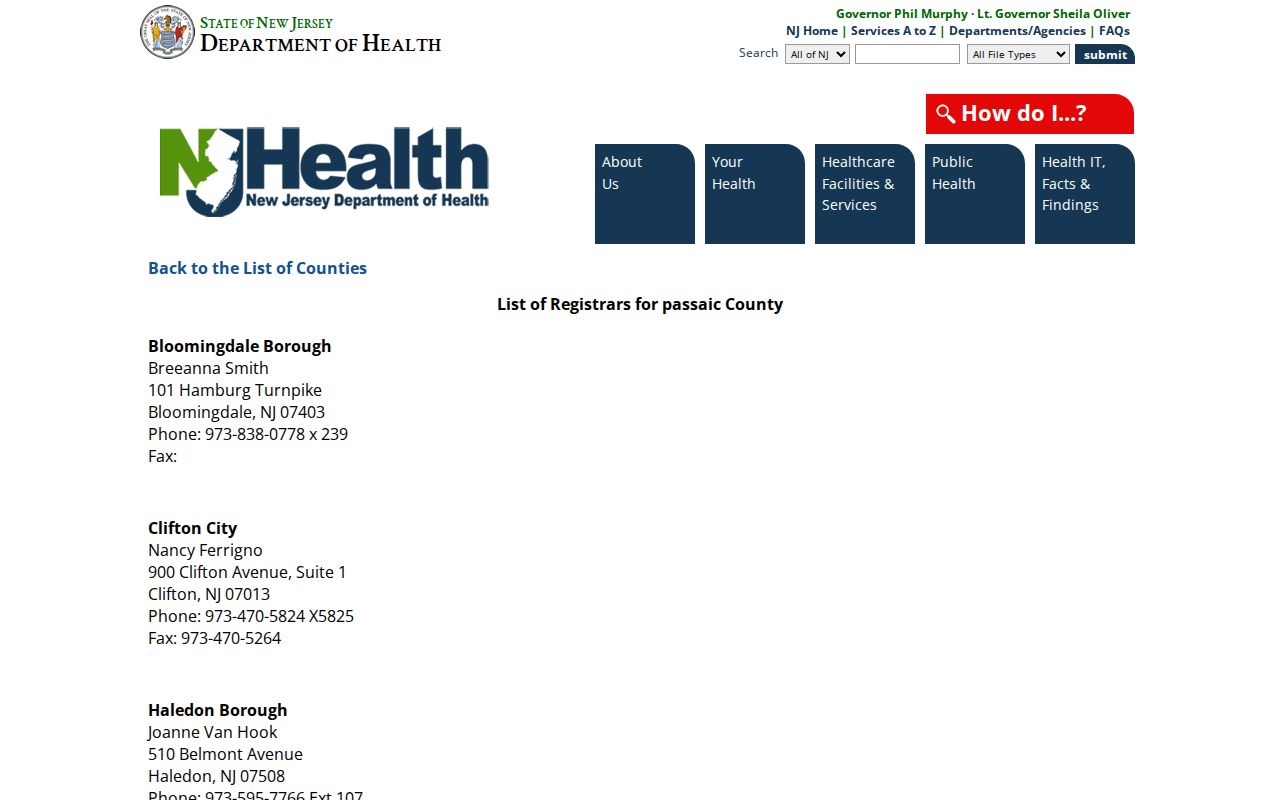
For current vital records, use the eligibility and confidentiality rules supplied by the registrar or state office rather than treating a ZIP as proof of access.